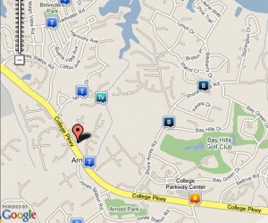
Anne Arundel County crime map
The Baltimore Sun has just released an interactive crime map of Anne Arundel county. The map combines automatic weekly feeds from the Arundel Police communications office with the power of Google Maps. The resulting visualizations allow citizens quick and easy access to hard crime data. A search form allows you to specify type of crime, time period, and location. Crime incidents show up as markers on the map which expand to give more detailed information when clicked.
Peter Hermann’s blog also has a writeup of the new system: “The information is out there; assembling it can be quite a task. I’m of the position that the crime data should come from the police. This is public information and there is excuse in this day an age not to post it all on the Internet, almost as it comes in.”
CrimeReports.com also has a similar system which provides the last 60 days of “Computer Aided Dispatch (CAD)” data generated by calls for service. The disclaimer states that the map does “not provide specific information related to how a crime was committed or who was involved. The information provided will only allow users to get a general sense of the types of calls for service that have been generated through the CAD system, the volume of calls for service received, and the classification of those calls. To ensure that victim, witness, or suspect information is not compromised, calls are mapped depicting only the general block number of the incident, as opposed to the specific address (for example, 1200 Main Street instead of 1234 Main Street).”


Spotcrime.com has been mapping Anne Arundel longer than both. We have a separate map for Annapolis.